The Met Office has issued a yellow warning for rain and stormy conditions in the United Kingdom.
Lightning might hit between 3 p.m. on Friday and 9 a.m. on Saturday, according to the weather service.
Affected areas in Scotland are anticipated to be limited to Dumfries, Galloway, Lothian, Central, Tayside, Fife, Grampian, Highlands, and Eilean Siar.
In a weather update, the Met Office said: “Heavy showers and a few thunderstorms are likely to develop through Friday afternoon, and although easing for a time mid evening, are likely to become more widespread overnight.
“The showers will be slow moving in places leading to hourly rainfall accumulations of 10-20 mm with the chance of 30 to 40 mm in a few hours.
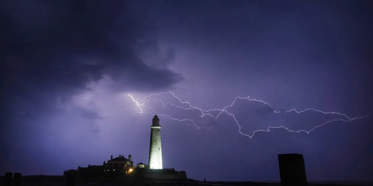
“Lightning will be an additional hazard.”
The agency added: “Heavy showers and thunderstorms may lead to some flooding and travel disruption.”
Despite the warning in Scotland the rest of the UK looks to have fairly settled weather.
According to the Met Office forecast looking at August 25 and 26, most of the UK will experience “sunny spells and showers for most”.
They continued: “Showers most frequent in the north and west with a risk of hail and thunder.
“Driest and brightest in the southeast. Feeling cooler than Thursday for all.”
Looking at Saturday, they said: “Scattered showers soon becoming more widespread occasionally heavy with a possibility of thunder.
“Breezy in the west. Rather cool for late August, but feeling reasonable in any sunshine.”
Sadly for many Britons, it seems we’ve left the last of the summer sunshine behind us with long-range forecasts predicting temperatures to cool.
According to the September forecast from the Met Office: “Temperatures are likely to remain around average through early September but may become slightly above-average approaching the middle of the month.”