Brits are in for a nightmare weekend, with heavy rain and storms set to lash large portions of the country.
Following a surprise September heatwave, the weather appears to be returning to seasonal norms. While temperatures will linger in the mid-20s in some areas today and tomorrow, the weather will become wet and windy after that.
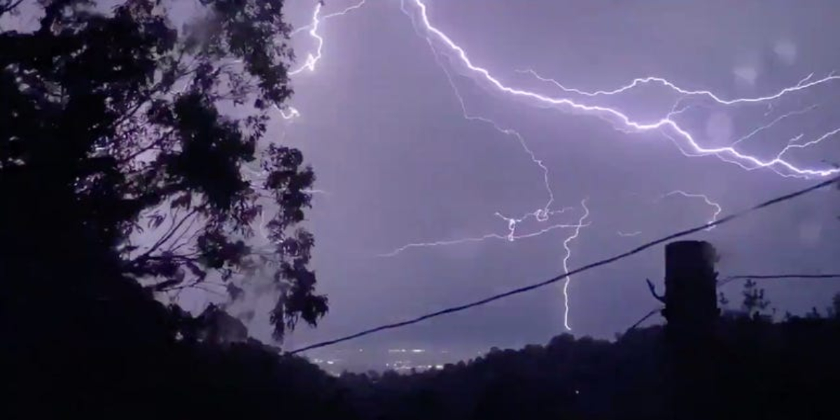
Heavy rain, lightning, and thunder are expected to hit parts of the UK on Sunday and into early next week. A massive north-south rain and storm band is expected to move in from the Atlantic Ocean and the western Iberian Peninsula.
Ventusky predicts that the V-shaped storm will hit Northern Ireland, Wales, and much of England, save on the east coast. From 4pm Sunday afternoon, up to 10m of rain might fall in three hours.
The Met Office has forecast “thundery showers spreading north” throughout the weekend, which could worsen on Monday.
“Cloudy with outbreaks of rain across the north,” they predicted for the weekend. Elsewhere, sunny spells with scattered showers, some of which will be strong with thunder. Later, showers will become more widespread from the southwest.
“Humid with thundery showers spreading north on Sunday. Further heavy and thundery showers likely on Monday, but it will turn drier and fresher from the south. Organised rain arriving Tuesday.”
The majority of the UK will have sunny skies today, with a band of rain extending from Ireland, across sections of the northeast and northwest of England, and hitting parts of Scotland.
The belt of rain will cling to the country until tomorrow morning, when it will slowly travel south before being replaced by the oncoming storm, which will deluge the country from Sunday through Monday.